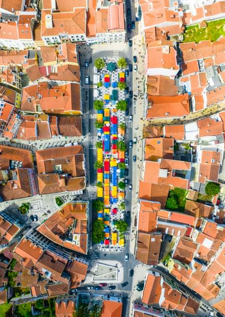
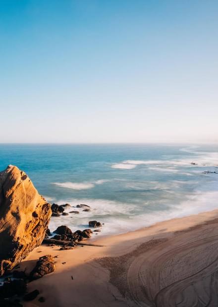
The UNESCO Geoparque Oeste covers a 1154 sq km long territory within 6 municipalities of the West region of Center of Portugal: Bombarral, Cadaval, Caldas da Rainha, Lourinhã, Peniche and Torres Vedras. The geological heritage of this Geopark is absolutely mind-blowing, attracting researchers, geology aficionados and science tourists from all over the world!
The UNESCO Geoparque Oeste covers a 1154 sq km long territory within 6 municipalities of the West region of Center of Portugal: Bombarral, Cadaval, Caldas da Rainha, Lourinhã, Peniche and Torres Vedras. The geological heritage of this Geopark is absolutely mind-blowing, attracting researchers, geology aficionados and science tourists from all over the world!
The geological richness and diversity of Geoparque Oeste is the result of the presence of rocks with ages from the end of the Triassic to the Quaternary, mostly Jurassic, Lower Cretaceous and other ages.
The main highlights of this eye-catching Geopark are:
- an immense paleonthological heritage with 180 fossile sites (vertebrates and invertebrates), already classified, including more than three dozens of fossile species named after municiaplities of the west region, such as the crinoid Pentacrinus penichensis, a great diversity of the first flowering plants, and 12 dinosaur species found for the first time in the region, such as Lourinhanosaurus antunesi, Lusotitan atalaensis or Miragaia longicollum;
- a "Golden Nail" marking the GSSP (Global Boundary Stratotype Section and Point), a globally recognised location for the base of the Toarcian (Lower Jurassic) floor;
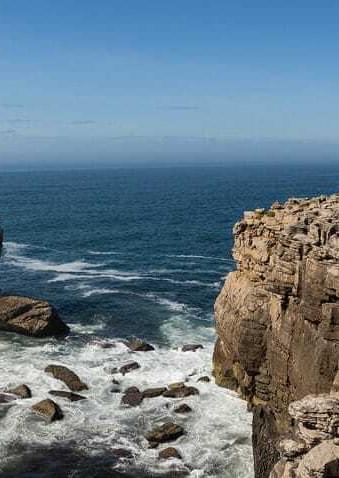
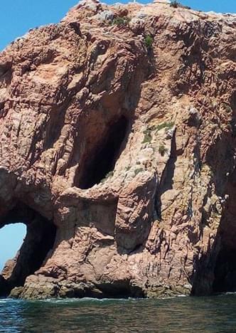
- more than 70 geosites identified and characterised, covering topics as diverse as coastal dynamics, palaeontology, geomorphology, salt tectonics, the geological record and geological resources;
- 2 museums with a significant exhibition component associated with Geological Sciences (Dino Parque da Lourinhã and Museu da Lourinhã) and at least two more spaces in planning (Museu de Paleontologia da Bacia Lusitaniana and Museu do Forte de N.ª Sr.ª da Consolação);
- 7 detailed geological maps, on a scale of 1:50,000, with a total of 40 geological formations or units, many of which are named after localities in the area, such as the Lourinhã Formation, the Montejunto Formation, the Bombarral Unit or the Torres Vedras Group;
- the record of a long geological history, depicting the gradual opening up of the Atlantic, with rocks from the Triassic (around 230 million years ago) to the Quaternary, highlighting the exhibition of Jurassic rocks (200 to 145 million years ago) very rich in fossils.
Geoparque Oeste became the 6th Geopark in Portugal to integrate the UNESCO World Heritage list.